Digital Map-based Platform — Open Street Map
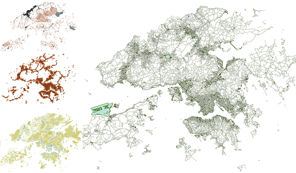
Online map platform is widely used in nowadays life, and it contains very rich geographic information, which is also increasingly used in the analysis of urban issues.
This micro-module mainly introduces the way to get map data through Open Street Map, and the use of QGIS 3.18 for buffer analysis, which is also very important in the analysis of urban problems. It mainly includes three parts. The first part is to obtain map data of the analysis range, including traffic road network and function points, using shape files in Open street Map. The main components are downloading and clipping of Open Street Map shape files. The second part is to use the buffer function in QGIS 3.18 to analyse the shape files. The main content has the extraction of feature elements in the shape file and the method of buffer analysis. The third part has the acquisition of OSM data on Open Street Map website and the method of processing. The main part includes the use of plug-in QuickOSM to download and filter different map features in different ranges.