Digital Maps and Geospatial Data Mapping
Geographic information has a wide range of applications in all areas of urban issues, and nowadays there are more and more channels to obtain geographic information. But how to get the data we need and how to process it are the basic problems that must face when using geographic information.
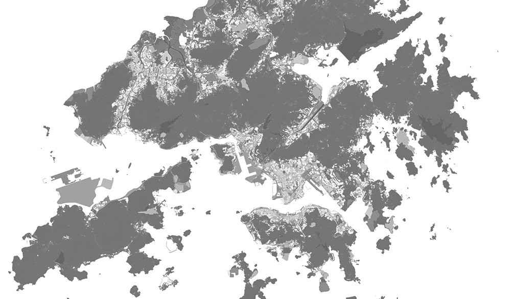
This micro-module will introduce how to use the official government channels to publish geographic map information in Hong Kong, using QGIS. There are two main parts, the first part includes how to get the map data through Hong Kong Map Service, and the preliminary processing of the data. The main parts are data downloading, importing, clipping and editing styles. The second part includes how to get the land use data in Hong Kong Land Use, and the processing of the data with QGIS. Mainly include download, import, style editing, clip, scale calculation and feature data extraction.
The tutorials in this micro-module can be used to obtain other geographic data released by official government channels and to analyze vector data and raster data obtained from other sources using QGIS .