E-Learning Modules
Welcome to the MSUD E-learning modules page, which including a series of teaching and learning resources focusing on the gathering, interpretation and visualization of urban data and processes. Focusing on the most recent software processes for urban analysis and supported by online instruction manuals and documentation, these modules can be integrated in a wide range of study and research processes in the fields of Urban Studies, Architecture and Urban Design, as well as other fields interested in the evaluation of urban data.
Most of the e-learning modules are based on freely availables software tools and open source data from social media, online map services and geographic information databases, and introduce different techniques for computational analysis, data mapping and evaluation.
This website and its content are currently under development, for further information about future updates please contact Prof. Jeroen van Ameijde at the School of Architecture.
Micro-module A
Online Urban Data Gathering Overview
Use QGIS to process and analyze open source geographic information data to obtain base map and perform Geotag data analysis.
Micro-module A-A1
Geographic Information Systems (GIS)
Online Data Gathering and Processing
Briefly introduces the application of QGIS in the analysis of urban issues, main data types and access.
Micro-module A-A2
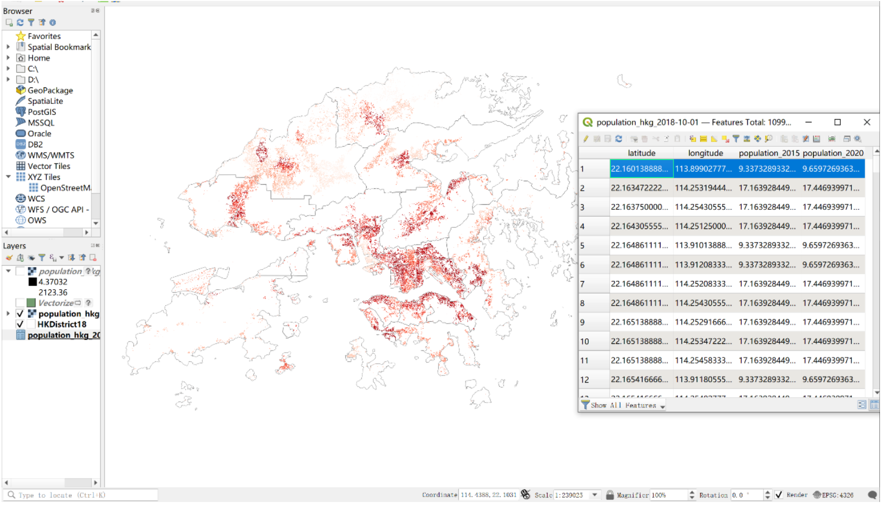
Digital Maps and Geospatial Data Mapping
Hong Kong government official geospatial data acquisition, processing and generation of analysis base map, and geographic data acquisition and analysis.
Micro-module A-A3
Digital map-based Platform — Open Street Map
Open Street Map graph data acquisition method and through the plug-in QuickOSM, fast access to the OSM data method in Open Street Map, and analysis applications.
Micro-module A-A4
Social Media Data Gathering and Processing
Introduce Point of Interests, Google Maps API and Open Street Map API. Include how to obtain POI through Google Maps API, and how to categorize and process data.
Micro-module A-A5
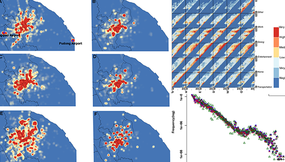
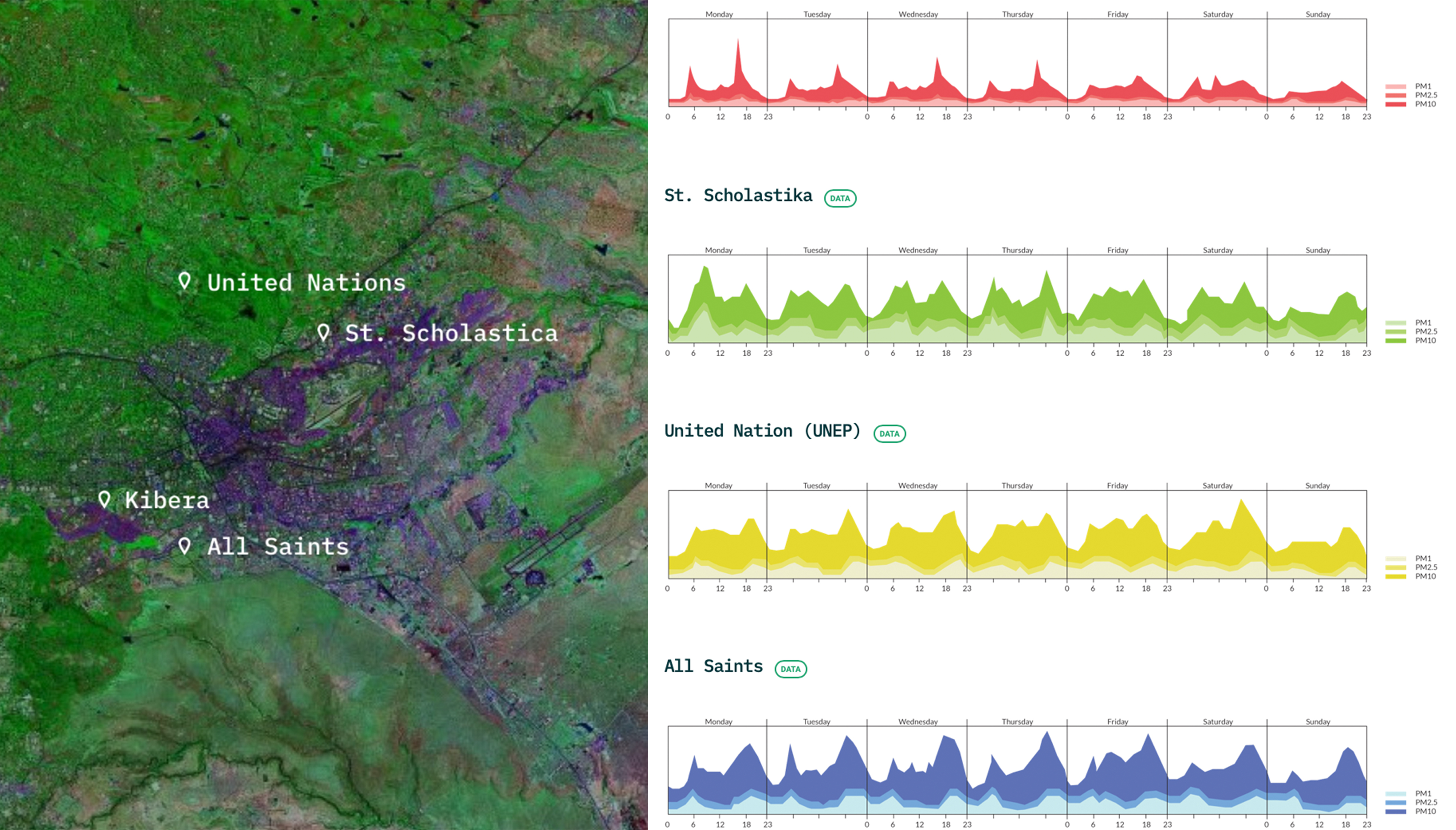
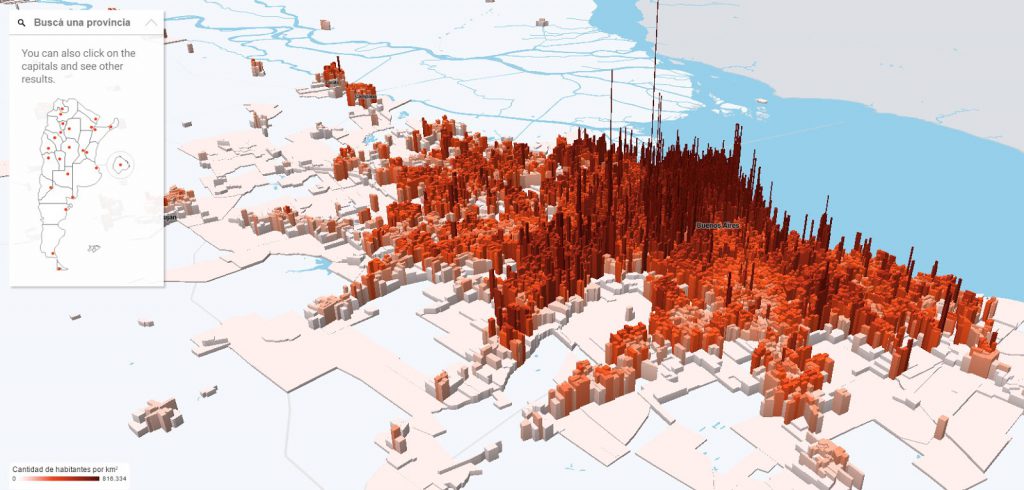
Geo-tagged Socioeconomic Data Processing
Introduce how to obtain and process socioeconomic metrics, which could associate with urban morphology analytics.
Micro-module A-A6
Accessibility of Amenities Evaluation Based on Urbano
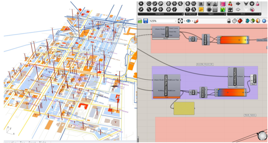
Introduce the whole process of creating the urban mobility model via Urbano, including data collecting, pre-processing, inputting and final result outcomes.
Micro-module B
Mobile Sensing Application Overview
Collect environmental and social information through check-in data of mobile devices or social media to analyze the process of urban development.
Micro-module B-B1
Mobile Sensing for Environmental Features and Well-being
Collect environmental information such as noise and climate through mobile sensing equipment, and analyze the relationship between natural factors and human activities.
Micro-module B-B2
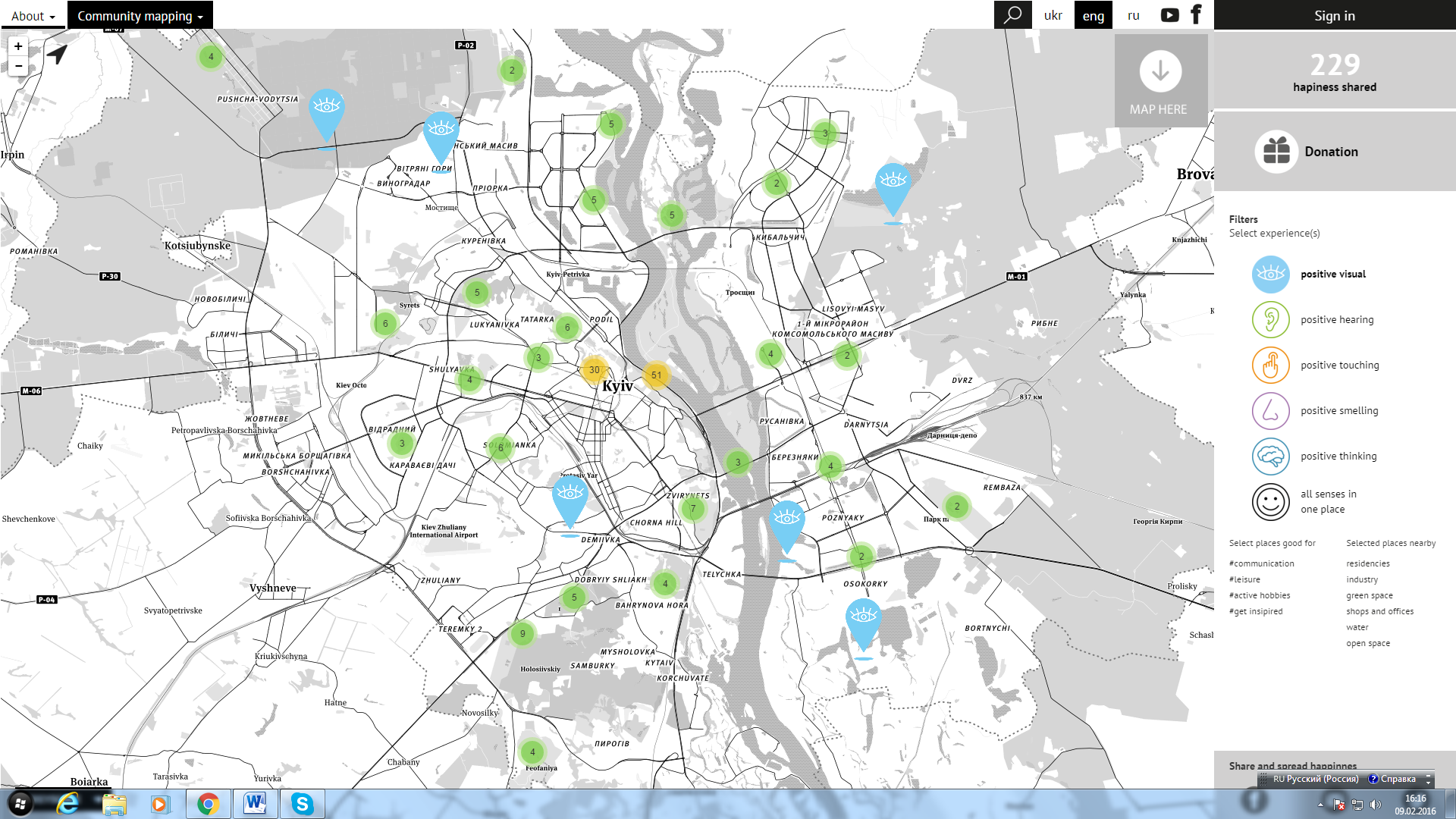
Geolocation Tracking Applications
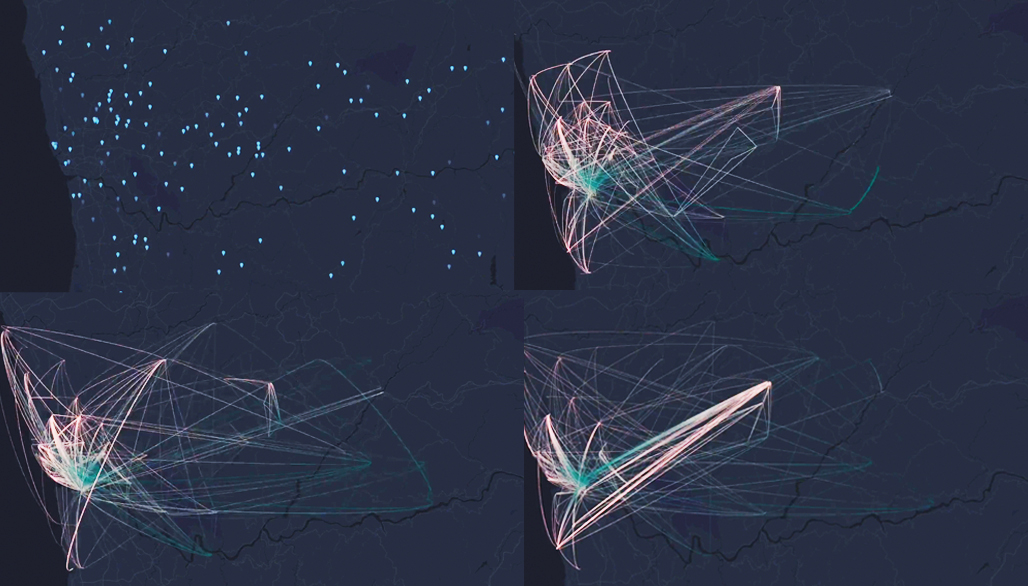
Through geolocation tracking applications to collect people’s stopping places, analyze the gathering places and action routes of people’s daily activities.
Micro-module C
Remote Sensing Overview
Obtain city models through UAV or aerial photography and analyze traffic flow through machine learning.
Micro-module C-C1
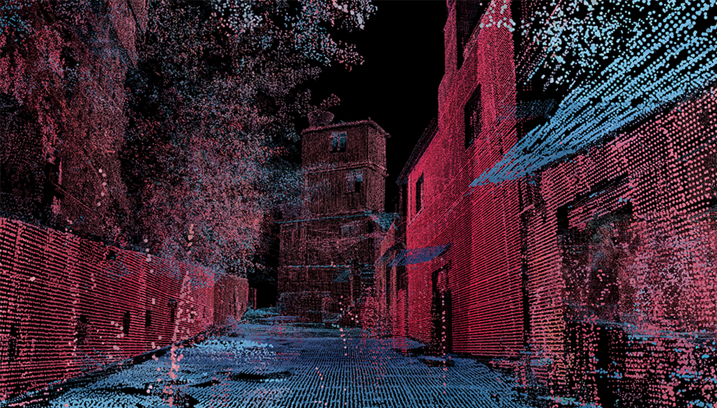
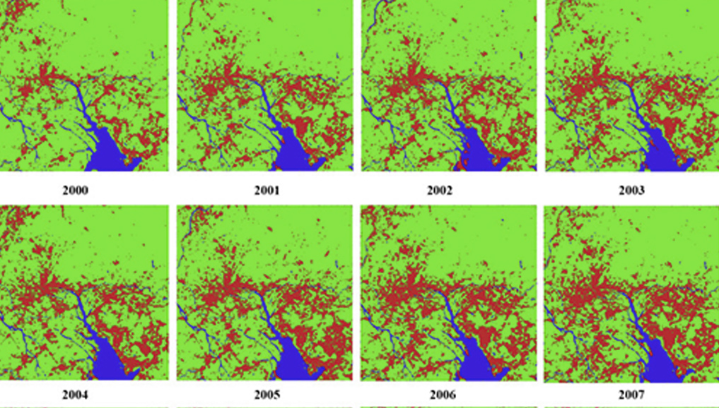
UAV-based 3D Scanning and Mapping

Introduces the use of UAV and the method of generating site model through photos or videos taken by UAV, and analyzes it through Machine learning on this basis.
Micro-module C-C2
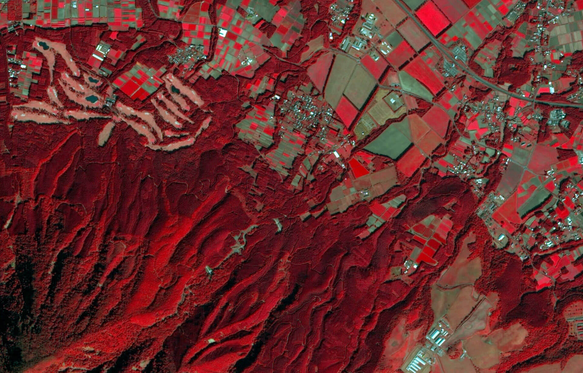
Satellite Data and Aerial Photography
Remote sensing data obtained by satellite or aerial photography are analyzed to identify the composition and distribution characteristics of various elements in the city.
Micro-module D
(Big) Data Analytics Overview
The method of capture big data, analyzing and processing the data and combining the computational analysis to analyze urban issues.
Micro-module D-D1
Data-management and Analysis Methods
Big data acquisition, processing and analysis methods. Big data can be used to obtain people’s behavior rules and public preferences as the basis for solving urban problems.
Micro-module D-D2
Statistical Data Analysis
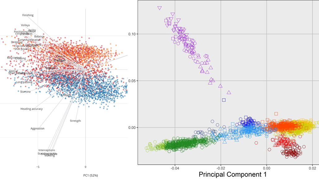
Use statistical methods to analyze big data, find rules between different data, filter and process needed data for targeted analysis.
Micro-module E
Data-visualisation Overview
Through computer analysis and mapping obtained spatial data and diagramming to provide more solutions to urban problems.
Micro-module E-E1
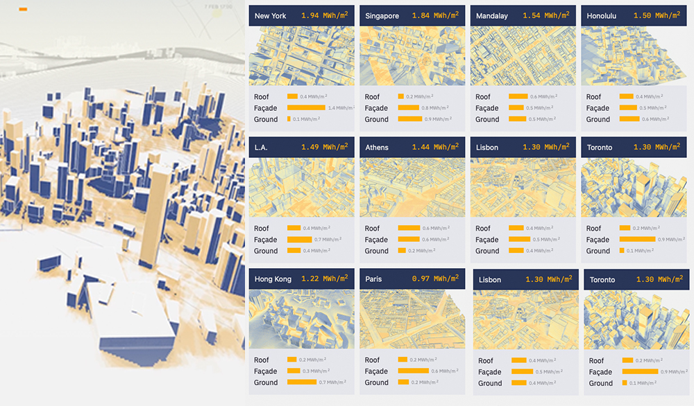
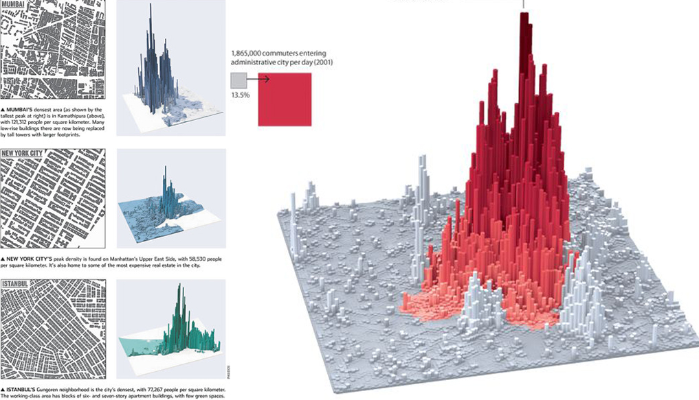
Information Graphics
Through the visual expression of information, data or knowledge, complex information can be clearly explained with intuitive visual effects to improve the efficiency of information acquisition.
Micro-module E-E2
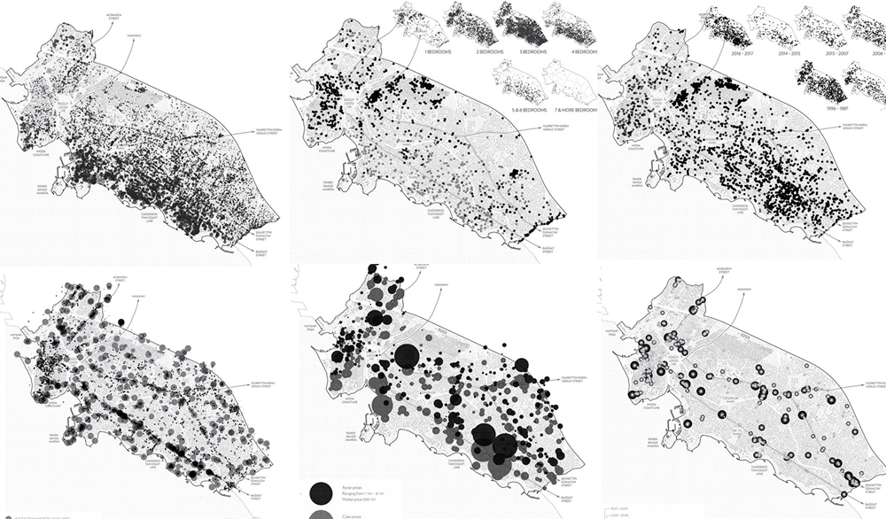
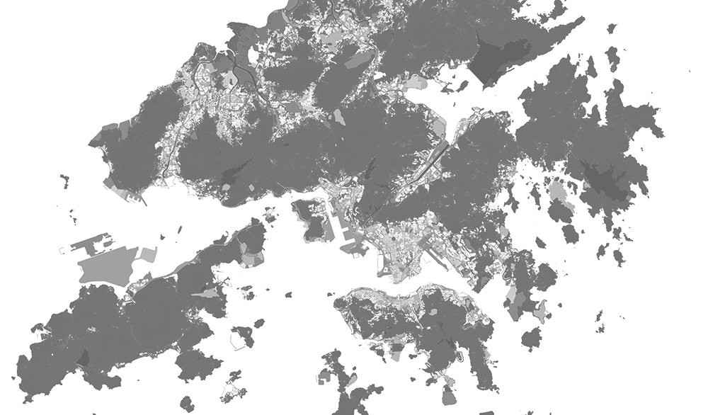
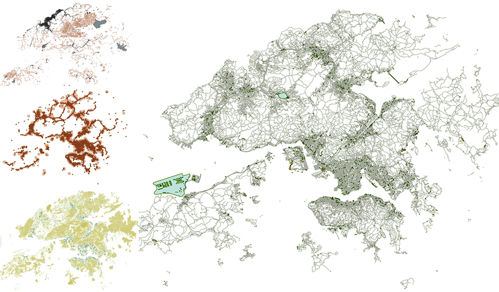
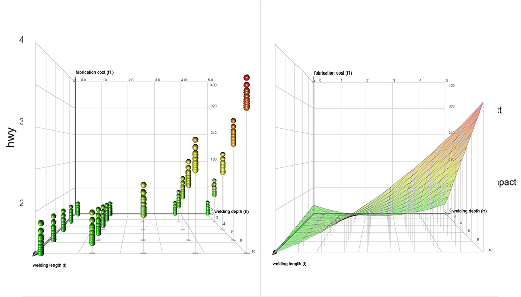
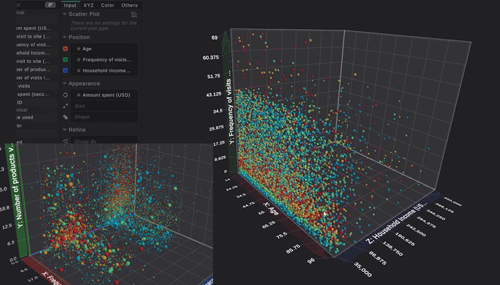
Spatial Data Mapping and Diagramming
Directly or indirectly quoting data with geographical location characteristics, and presenting data graphically in order to more intuitively show the relationship between data.
Micro-module E-E3
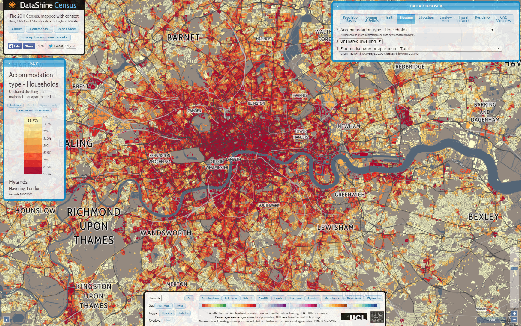
Interactive Online Data-maps
Online interactive map platforms can identify characteristic data, query basic data by topic or specific indicators, and generate reports or other information visualization images.
E-Learning Modules for Comprehensive Data Analysis (Project Extension)
This series of E-learning Modules include four 1-hour videos with sample data and scripts, covering a wide range of themes, aiming to provide examples for more comprehensive analysis using advanced tools. Upon feedback on previous e-modules, these new modules addressed following aspects:
(1) advanced data mining, data processing and analysis, (2) data visualization, (3) critical interpretation of data-driven research outcomes in relation to research questions, and (4) conceptual bridging between data-driven research outcomes and the formulation of planning, policy or management initiative briefs and objectives.
This project is supported by TDLEG grant to develop additional learning resources around data-driven urban analytics, to complement a range of department and programmes which incorporate urban research. While the main target programmes are the BSSC in Urban Studies and the MSc in Urban Design programmes, the methods are intended to benefit a wide range of research endeavors in areas such as (but not limited to) Architectural Studies, Economics, Geography and Resource Management, Government and Public Administration, Journalism and Communication, Sociology and Public Health.
Micro-module X1
Street View Images (SVI) and Urban Analytics
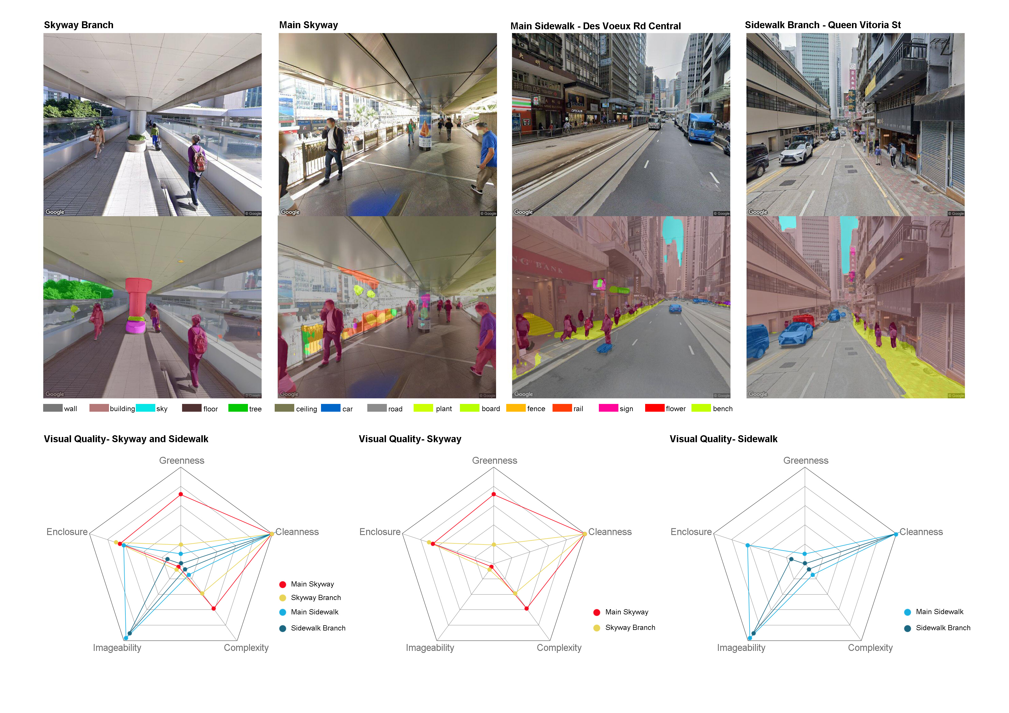
This 1-hour module will cover the whole process from street view data collecting, semantic segmentation processing, geographical visualization using google street view images as an example.
Micro-module X2
Location-based Social Network (LBSN) and Text Mining
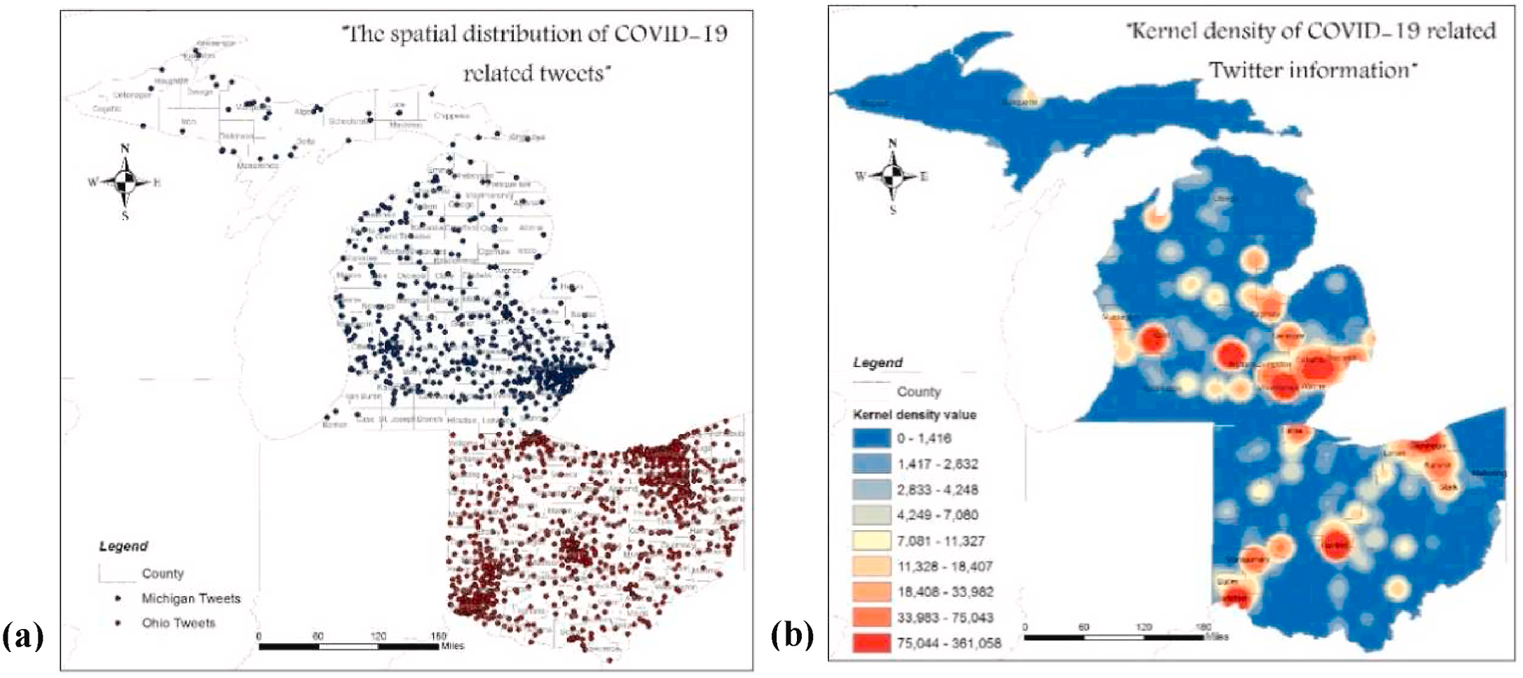
This 1-hour module will cover the basic concepts and examples of LBSN data and its application in urban
analytics, and it will provide a step-by-step tutorial on sentiment analysis, using social media posts as an example.
Micro-module X3
Basic Statistical Analysis
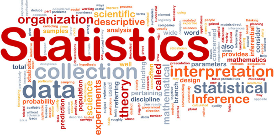
This 1-hour module covers basic statistical concepts in data analytics, then further explores correlation analysis and linear regression models in Social Science research.
Micro-module X4
Sustainability and Mobility
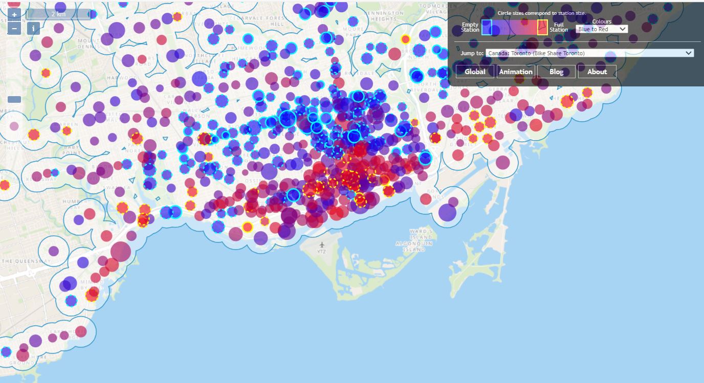
This 1-hour module briefly discusses the concept of sustainability and how it is associated with the urban mobility. This module further analyses bikeshare data to reveal the usage patterns and spatial distribution patterns.