Accessibility of Amenities Evaluation Based on Urbano
Former studies have indicated that one of the significant qualities of a walkable city is access to varied amenities within walking distance, which has been linked to socioeconomic growth and quality of life.
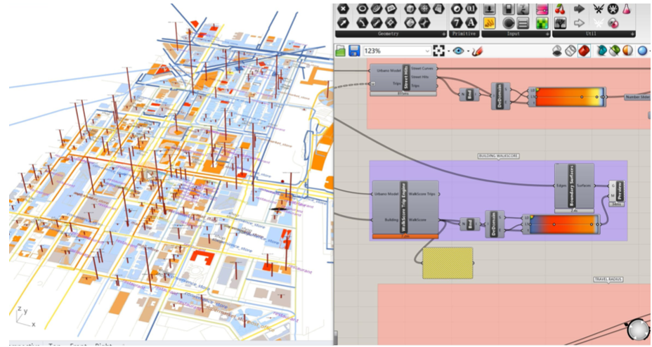
Urbano is an urban analytics toolset that enables an automated workflow for analysing the accessibility of facilities, as well as how the distribution of amenities affects people walking in a neighbourhood. It uses multi-source open data to import contextual GIS, OpenStreetMap, and Google Places data into Grasshopper to create an urban mobility model.
In this micromodule, the tutorial will introduce the whole process of creating the urban mobility model via Urbano, including data collecting, pre-processing, inputting and final result outcomes.