Geolocation Tracking Applications
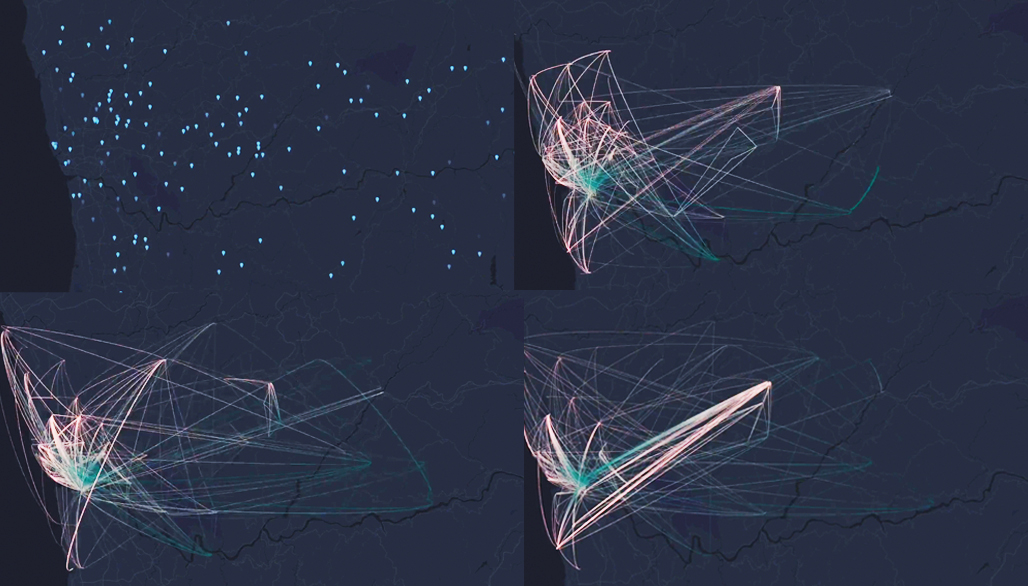
In this micro-module we will introduce the use of a mobile sensing application with geo-location tags to record people’s routes or the location where crowd gathering and import the data into QGIS for visual illustration. This can be used to record the gathering of people in the research area, the extent to which people prefer existing spaces.
The first part will introduce how to use the Jas location tracker to record routes or mark locations, and the export of geographic data.
The second part will explain how to import data recorded by mobile phones into QGIS, how to process the data, and how to visualise the data to analyse problems.