Remote Sensing Overview

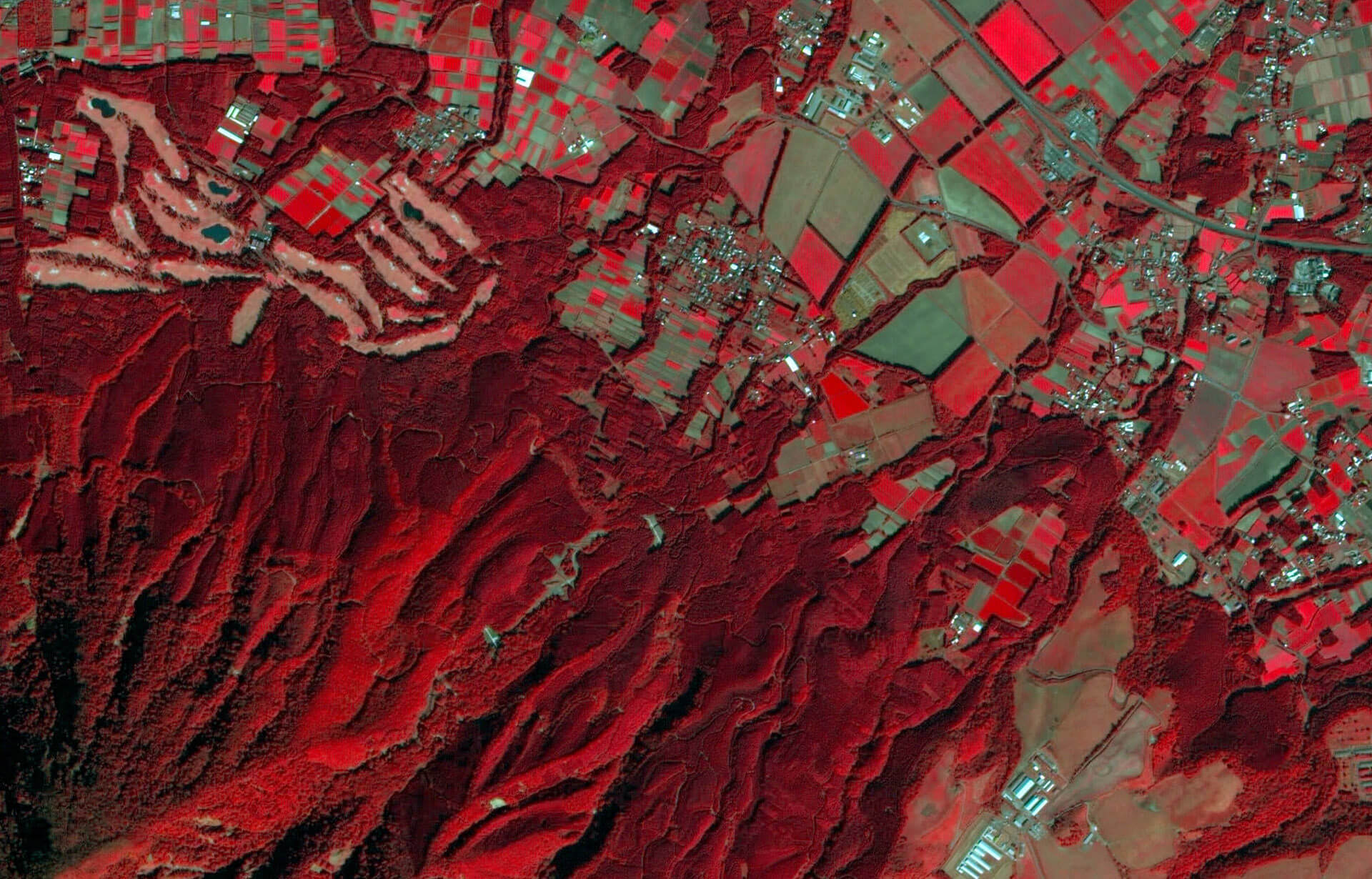
Module C will introduce the main sources of remote sensing data, data characteristics and application scenarios in the field of urban research. In this module the steps to obtain a model of the urban commons through UAV scanning and ground scanning will be presented. In addition, this module will introduce the acquisition methods, processing methods and applications of optical satellite remote sensing data in research.
This module mainly includes two micro-modules, which are respectively the method of constructing research model by using data obtained from 3D scanning of UAV and the method of using optical remote sensing data obtained from remote sensing satellite.