UAV-based 3D Scanning and Mapping
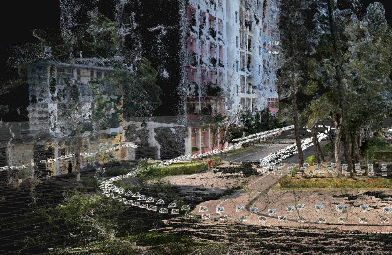
This document will guide you through the essential steps in generating geo-referenced urban public space photogrammetry models using two different types of data obtaining methods, unmanned aerial vehicle scanning and terrestrial scanning.
You will learn about the technical details and techniques behind data acquisition, processing, model generation and model manipulation in this document.