Module X1 Street View Images (SVI) and Urban Analytics
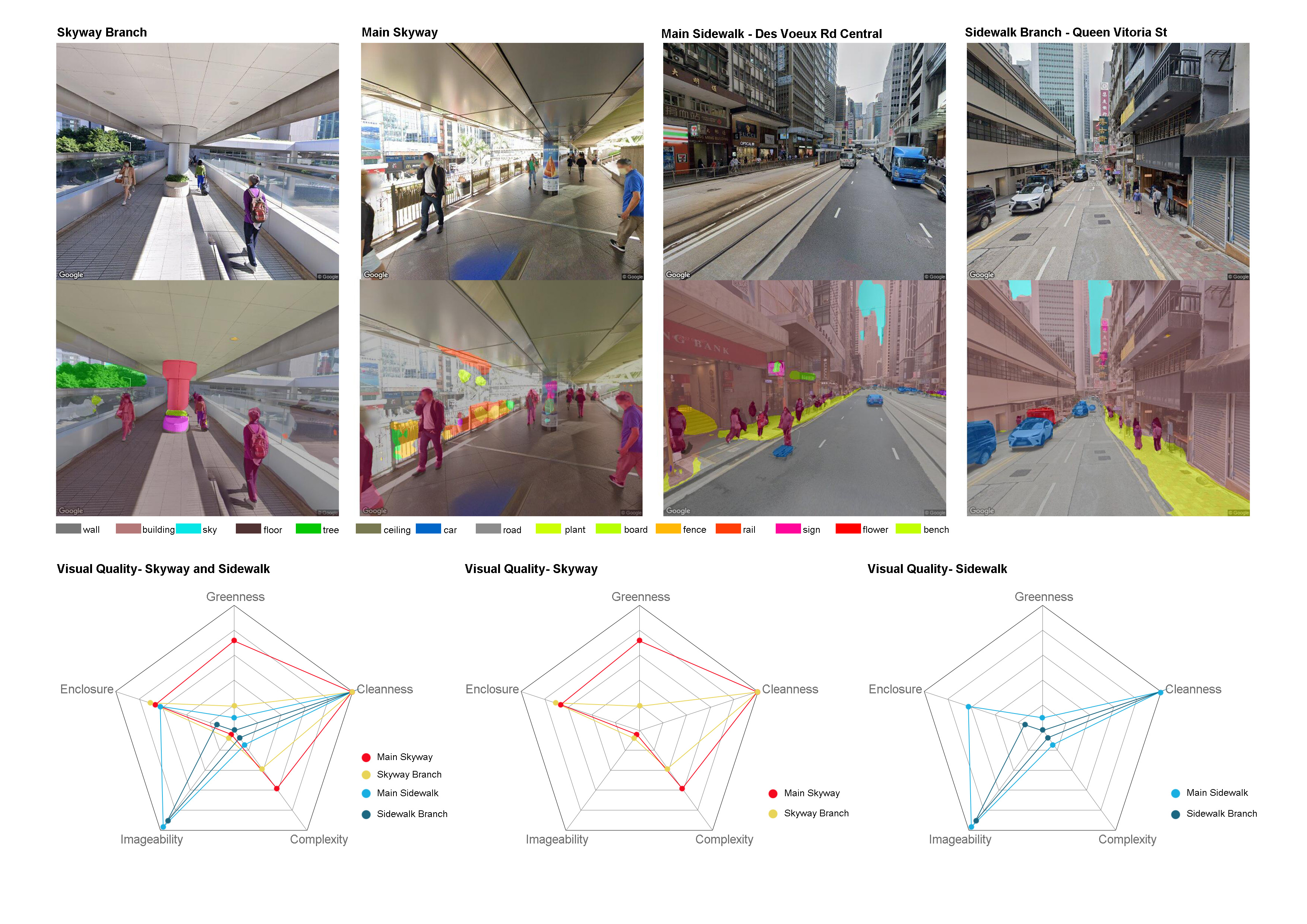
Understanding the qualities of the built environment is crucial for a wide range of disciplines, including public health research, spatial social studies, real-estate and infrastructure development and urban planning. Street View Imagery (SVI) has gained a strong momentum in urban studies in the last few years, propelled by the proliferation of SVI data, advances in machine learning to extract a variety of information, and the growing computing power to facilitate processing large amounts of data.
This module will cover the whole process from street view data collecting, semantic segmentation processing, geographical visualization using google street view images as an example.